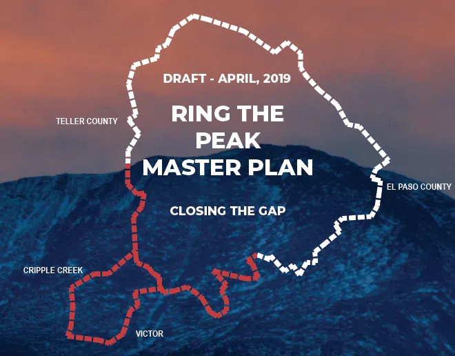
A roughly 80-mile loop around America’s Mountain. Close the gaps. Connect the towns. Steward the corridor as one shared landscape.
The route
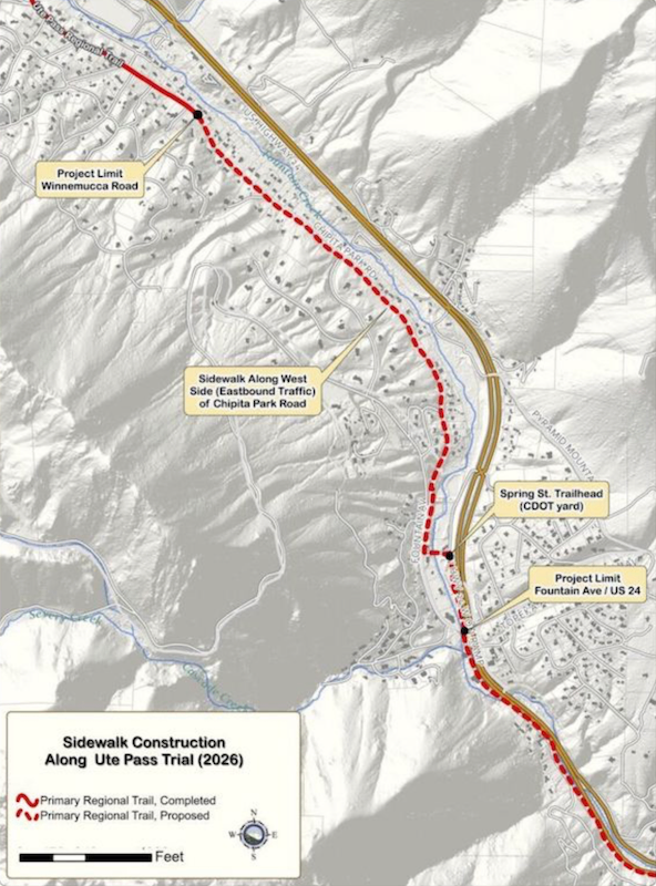
Close the remaining gaps — especially along Ute Pass and on the southwest flank — so the loop is whole, signed, and usable end to end.
The towns
Portals in Manitou Springs, Cascade, Green Mountain Falls, Teller County, and the high country turn a mountain circuit into everyday access.
The care
The trail crosses federal, state, county, city, and private land. Finishing it means coordinated management, not a patchwork of rules.
Zoom the live map for segments, portals, and current trail information.
Conditions change—confirm access, seasonal closures, and allowed uses before you go.
Gifts to Pikes Peak Outdoors can be designated for Ring the Peak, or given as unrestricted support for the regional outdoor effort.